Our Services
Our Services
Underground Utility Detection
We
offer wide range of underground utility detections – locating, identifying and
mapping all utilities routes including water, communication, gas, electricity,
telecommunications and drainage.
Engineering and Topographical Surveys
Topographical surveys are often the
initial survey done when a project is started. The purpose of the topographical
survey is to collect survey data about the natural and man-made features of the
land. It is the spatial recording of all information that could be relevant to
the design and construction of the project. The information includes contours,
roads, building, vegetation, services and etc.
Engineering surveys (Construction
surveys) – When construction features are accurately setout on the ground,
survey to calculate quantity of materials as volumes.
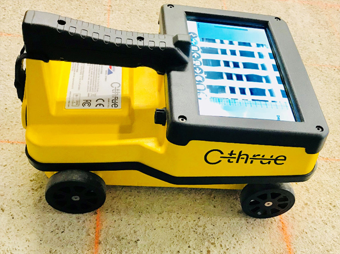
Concrete Scanning (Concrete Imaging)
Provide information regarding
structure, strength, composition of the structures and detecting all utilities
within the concrete.
CCTV Pipe Inspection
CCTV survey of drainage. Opening
manhole covers to identify and measure the content using high-definition video
camera that is inserted into the pipe, noting defects, blockages and damages.